Recent Sightings Recent sightings: Wisconsin flooding

View a map showing all of southern Wisconsin
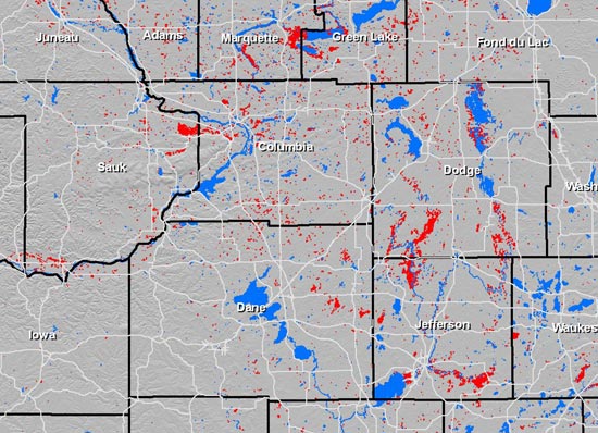
WisconsinView developed this map — a June 15 snapshot of the severe flooding that hit southern Wisconsin — for Wisconsin Emergency Management, a state agency involved in response and recovery efforts. The blue areas indicate existing lakes and rivers; the red areas indicate areas of probable flooding as measured by satellite imagery collected by the Canadian Space Agency.
WisconsinView is a federally funded UW–Madison program that offers a free Web service for easy access to a variety of statewide images and data. Read more about WisconsinView.


